NOAA Logo National Centers for Environmental Information

formerly the National Oceanographic Data Center (NODC)...  more on NCEI

NOAA Satellite and Information Service

NCEI is transitioning to a new website and paths to data resources will be changing. Please contact NCEI.Info@noaa.gov with any questions of issues. See the new website at www.ncei.noaa.gov.


Ice Edge Climatology of the Barents and Kara Seas

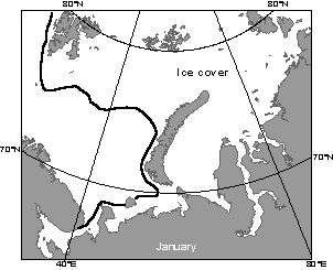
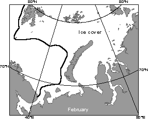
This map illustrates ice coverage of the Barents and Kara Seas during January This map illustrates ice coverage of the Barents and Kara Seas during February
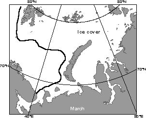
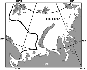
This map illustrates ice coverage of the Barents and Kara Seas during March This map illustrates ice coverage of the Barents and Kara Seas during April
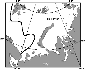
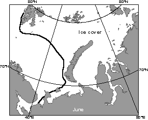
This map illustrates ice coverage of the Barents and Kara Seas during May This map illustrates ice coverage of the Barents and Kara Seas during June
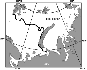
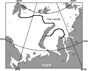
This map illustrates ice coverage of the Barents and Kara Seas during July This map illustrates ice coverage of the Barents and Kara Seas during August
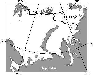
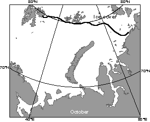
This map illustrates ice coverage of the Barents and Kara Seas during September This map illustrates ice coverage of the Barents and Kara Seas during October
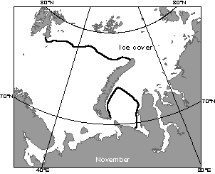
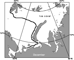
This map illustrates ice coverage of the Barents and Kara Seas during November This map illustrates ice coverage of the Barents and Kara Seas during December


  Last modified:    Thu, 4-Oct-2007 17:42 UTC NCEI.info@noaa.gov
 
Dept. of Commerce - NOAA - NESDIS - NCEI
* Offsite Link Notification
USA.gov - The U.S. Government's Web Portal